

It started to rain while we were inside doing paperwork, so we hustled over to the RAV4 and shoved our luggage in the back in a rush.
We punched the GPS coordinates for our first destination into the Garmin (because it's easier than typing in the Icelandic location names), and headed out into "the country", as the shuttle bus driver referred to it.


Sometimes, you can tell that it is, indeed, the country.


Our first stop was at a small waterfall somewhere along the Ring Road, but a Google search for what-looks-like-a-name on the sign that I took a picture of yields... nothing.


There were some Very Serious Cyclists having a picnic in the rain, in the small parking area by the waterfall.

We drove for a few hours, up into the Snæfellsnes peninsula/region, admiring the rugged scenery in a light rain.

Our next stop was also a waterfall, named Bjarnarfoss. Did you know there's a World Waterfall Database? I didn't.


Eventually, the rain stopped and it cleared up a bit. The center of the peninsula is the Snæfellsjökull volcano/glacier, which remained shrouded in fog all day.


Just across the highway from from Bjarnasfoss, we stopped at an old church in the middle of a lava field, in the "town" of Búðir.


As we continued around the peninsula towards Hellnar, we made an unscheduled stop at some sort of canyon in the lava cliffs. We didn't investigate too closely, as we still had a lot of Day 2 to squeeze in.


We eventually made it to Hellnar, where the attraction was an area of sea cliffs that are home to nesting birds. The guidebook (accurately) described the auditory experience as a "cacophony". We opted not to venture too close to this one, either.

Instead, we stopped at a cafe and got some hotdogs for (late) lunch.


Having satisfied our lunch cravings, we continued down the road to a scenic overlook in the Þjóðgarðurinn Snæfellsjökull national park. There was inexplicably a couple taking wedding photo selfies...?


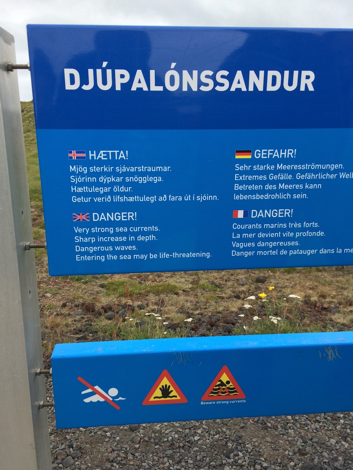
Next up was a black sand/rock beach named Djúpalónssandur.


To prove my strength to onlooking strangers, I picked up some very heavy rocks.


There were pieces of a shipwreck on the beach, and smooth lava rocks as far as the eye could see.


Our next stop (loving this 21 hours of daylight thing) was a historic site at the end of a long gravel road, at the northwest tip of the Öndverðarnes peninsula.


At the end (beginning?) of the gravel road, we stopped to see the beautiful Skarðsvík Beach that we missed (and/or it was too crowded on the first pass).


By then, it was already 7 PM, and we decided that we should probably find the hotel.
As is becoming usual, we opted to enter GPS coordinates into the GPS instead of trying to type the correct Icelandic letters/accents, and proceeded toward Stykkishólmur.


At one point, there were stretches of road painted blue, red, and then green. It seemed out of place.


Along the way, we passed through the port town of Grundarfjörður, where there was a cruise ship docked.


Finally, we made it to the Fransiskus Hotel in Stykkishólmur.

We checked in, unloaded our luggage, and walked a few blocks into the town to find some dinner.


By 8:45 we had settled on a restaurant, and by 9 PM I had my beer.


After dinner, we walked down to the harbor and climbed a hill on the other side to take in the view of the whole town at once. A local resident had told us it was a lovely spot to watch the sunset, if it weren't cloudy and if we wanted to be up there after 11 PM.


By the time we got back to the hotel, I think it was about 11 o'clock.
Tomorrow's adventures might include a Snowcat and a glacier... stay tuned, so to speak.
No comments:
Post a Comment