Tuesday, May 25, 2021

Virginia 2021 - Day 3: Shenandoah National Park, middle third

 The weather was marginal for hiking, this morning. I think it was 68F and overcast; we delayed our hiking day a bit to see if it would improve. Sabrina checked the stats for the weather station up on the ridge, in the park... it was 74F and sunny.

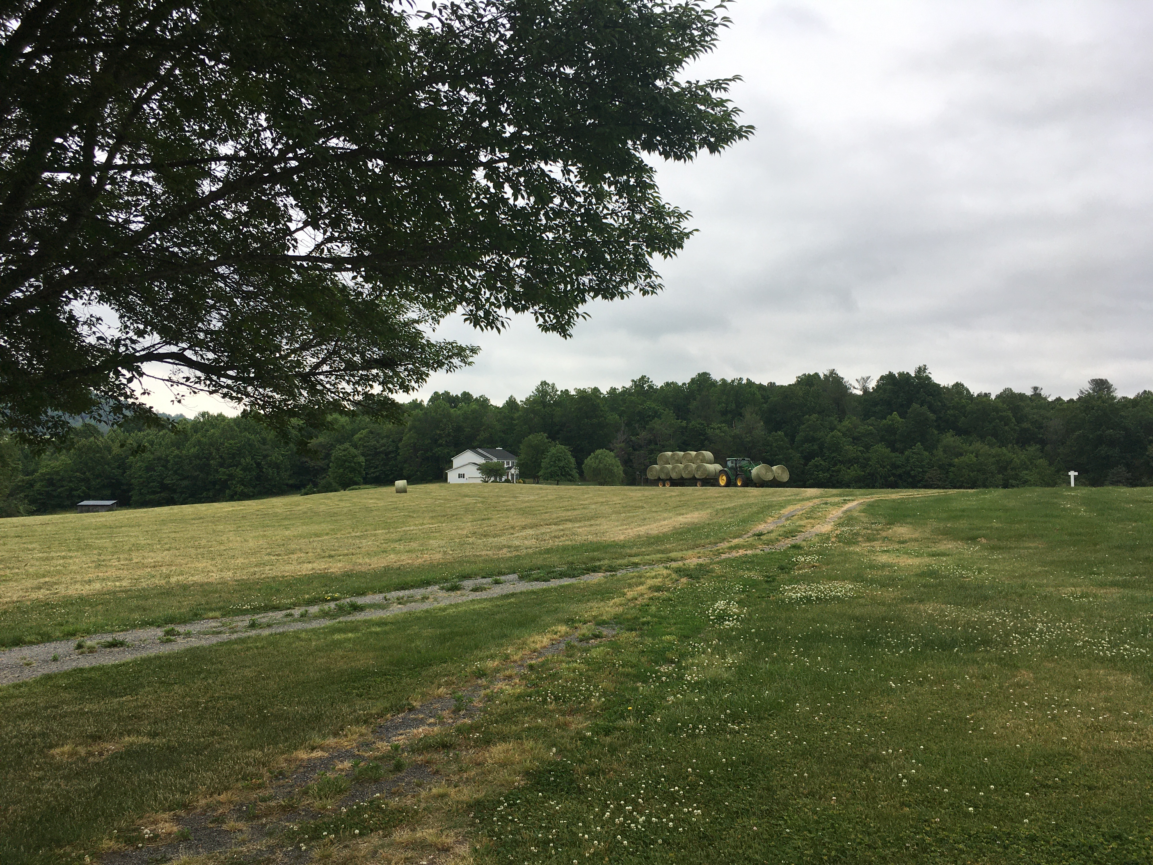
I got a quick shot of the Wolftown Mercantile Country Store, which is where we got gas-and-not-lunch on Sunday, as we drove by. More importantly, it shows the sky near the house/farm, which is why we were confused.


It still seemed questionable, as we entered the park at Swift Run Gap.


But once we drove a few miles on Skyline Drive, and crossed over to the west side of the ridge, it turned out to be a sunny day with blue skies.

Our big hike for today was the South River Falls Loop.


While it was hot and sunny in the parking lot, it was perfect hiking weather once we were under the protective canopy of foliage.


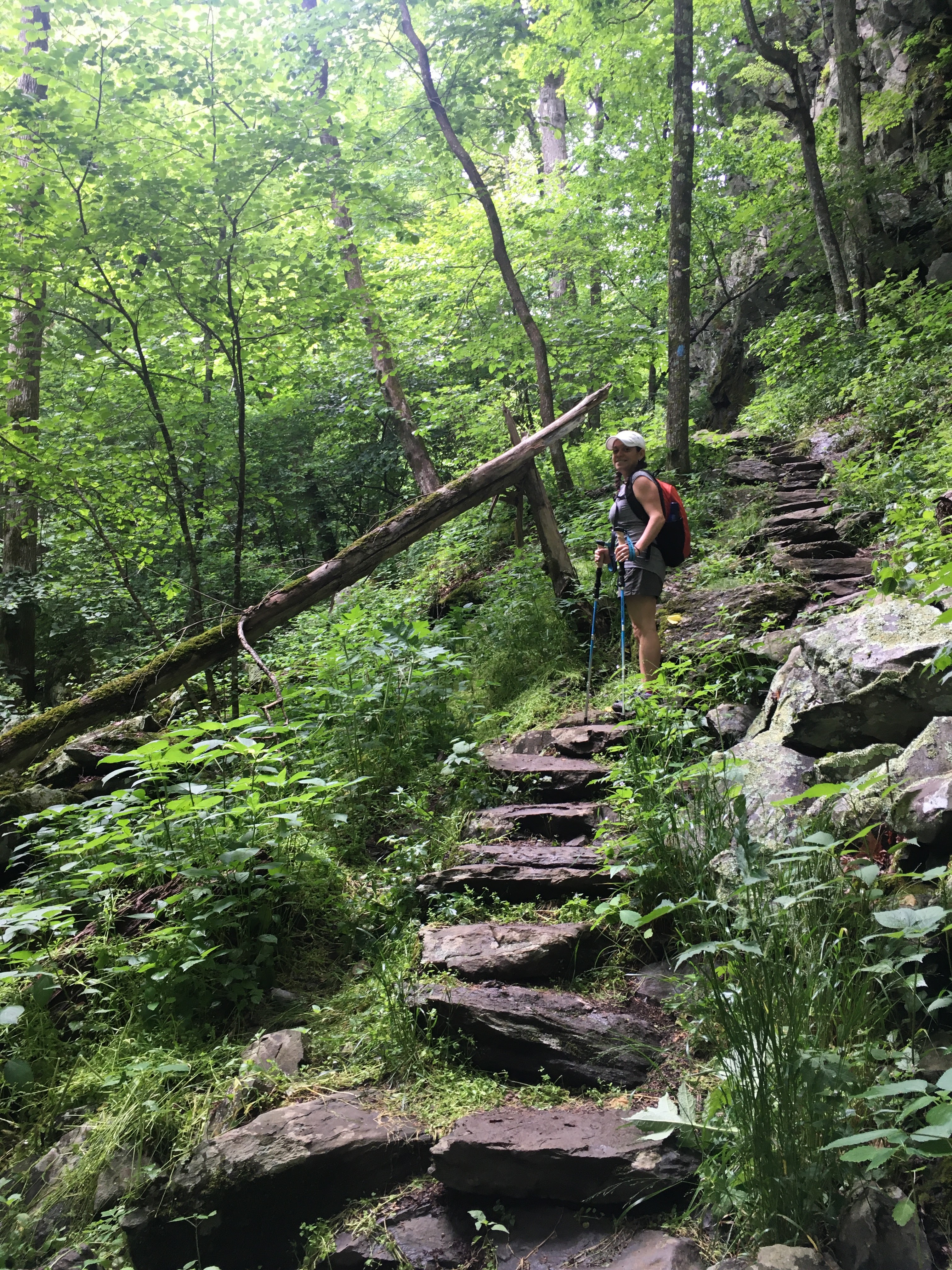
The descent was rocky at times, and steep in a few places, but we were not returning via this same path, so it was less troubling than Sunday's trail.


There was a large, flat rock on the edge of a cliff, near the falls observation point. We walked out onto it, to see what could be seen.

Sabrina didn't understand why I suddenly said "stop, back up", as she didn't think she was that close to the edge. I'm no herpetologist, but it sure looks like a rattlesnake to me. (Five minutes of Googling suggests it might have been a Timber Rattlesnake?) It didn't seem particularly alarmed as I approached for a photo, but it was probably four feet long and I didn't want to get any closer.


The view from the observation point was rather terrible, what with all the trees in the way.


Instead, we decided to add the 1.5 mile optional descent to the base of the falls to our hike. One of the signs, or maybe the details on our printed map, described it as "steep and rocky".


We encountered a few couples, going the other way, who affirmed that it was worth the trouble.


Once we reached the base of the falls, we crossed to the other side of the stream and settled in for some lunch.


Sabrina for scale:


I decided to cool my feet in the water. It didn't take long; I'd guess the water was 50 to 55F.


The return trip over the wet rocks was even more treacherous than the inbound route. The hiking poles paid for themselves, the first time they prevented me from getting a faceful of rock stairs.


To make this hike into a loop, we returned via the fire road. It was longer, so more of a gentle, neverending incline. Near the top, we diverted onto the Appalachian Trail for half a mile or so.


We got some sweet AT action shots.


The 1000' or so of elevation gain, coupled with the humidity, was quite... let's say I was glistening, just a tad.


Once we made it back to the car, we unloaded our packs and rolled out the snack cart. Leftover chips/salsa from Mexican dinner, some grapes, and some guac I whipped up this morning (3 avocados made the journey with us, from PA).


Sabrina's fancy app summarized our hike:


After snack time, we got back on the road and head north along Skyline Drive, enjoying the scenery and sporty driving conditions. We had a vague plan to do one more, easier, hike before we reached Thornton Gap, but hadn't narrowed down the options yet.

Along the way, we stopped a few times to examine our printed materials, and to look at estimated travel times in the rare spots we could get Google Maps to work.

The second hike we chose was to Hawksbill Summit, the highest point in the park. We went with the "easier" path, which was slightly longer and therefore not quite as steep.


The trip up to the top was completely uneventful, which was a surprise given how our previous hikes had gone.


It was nearly 6 PM when we got to the top. Everything is far apart here, and the speed limit on Skyline Drive is only 35 mph.


Unlike the earlier hike today, we had brought rain gear with us for this one, because there were thunderstorms in the area. We could see one of them in the distance, to the south.


Even with sketchy weather conditions, the view from up there was impressive.


There was a stone observation platform that made it (relatively) safe to get up to the edge of the cliff.


But it was possible to just walk out onto the rocks, up to the edge. Again, I was emboldened by the stability of the hiking poles.


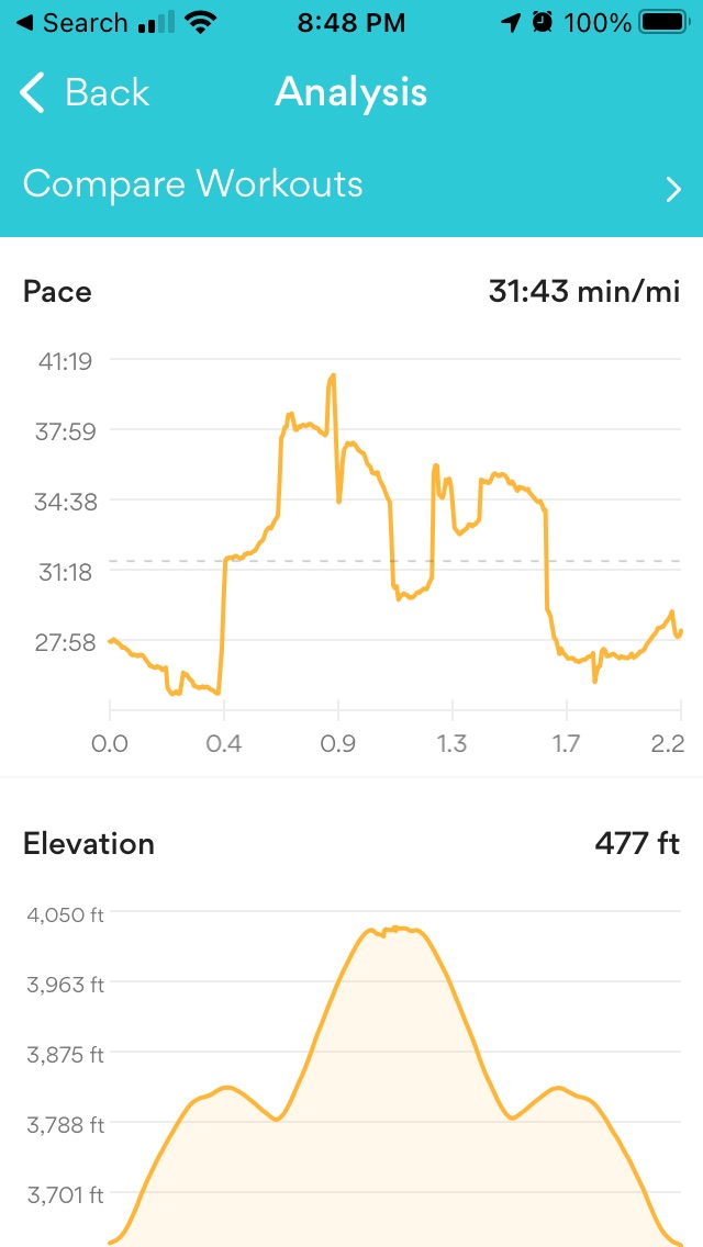
The return to street level was similarly uneventful. Sabrina's app shows the palindrome of a hike to be another ~500 feet of elevation:


We were still about 30 minutes' drive from Thornton Gap, where we'd be able to exit the park. Just before the entrance (exit) station, we went through the only tunnel in the park, appropriately named Mary's Rock Tunnel.


After exiting, we took the now-familiar route back to the farm, which took another half hour or so.


It was just after 8 PM by the time we got back to the house, in time for another lovely sunset as we ate dinner on the patio. Tonight, it was leftover pizza from Pizza Boy Brewery (from our drive down here, a few days ago).


Today we hiked over 7 miles, with a total elevation gain of about 1/3 of a mile. This morning, I needed an Aleve to ease the leftover pain from Sunday's hike. Tomorrow, I'll probably need two. 

But that's okay, because tomorrow we're going kayaking on the Shenandoah river, which doesn't require my legs to do much once they're inside the boat. It's going to be hot again, with forecasted temps in the mid-90s.

Sabrina, of course, has no residual leg pain.

Monday, May 24, 2021

Virginia 2021 - Day 2: Rain, Luray Caverns

It was overcast and rainy this morning, so we slept late and then relaxed around the house while making plans for later in the week.

Around the time I was ready for post-breakfast coffee, Sabrina noticed that a tractor had shown up to collect the hay bales, so we sat out on the patio to watch and discuss the operator's technique.


We'd had a light breakfast, and there was a break in the rain for a few hours, so we opted to try the winery that's at the end of the road, about 2 miles from the house.

We snuck out between trailers-full of hay, so we didn't get stuck behind the tractor.


The winery (Early Mountain Vineyards) turned out to be super fancy, and we had under an hour to enjoy the view outside before the rain returned. We managed to squeeze in a flight and charcuterie board, anyway.


After sort-of having wine for lunch, we popped over to Yoder's Country Market to load up on snacks and lunch options for the remainder of the week. Also they had carpenter bee traps for sale, which was amusing to us because I just built something like this at home, last week.


Earlier in the day, the forecast suggested that it might have just been scattered showers today, but it turned into a steady rain all afternoon. By the time we left Yoder's it was clear that we wouldn't be spending any more time outside today. We debated turning it into a winery/brewery crawl day, but ended up enacting the Rain Day plan of some cavern-touring.

This required crossing over Shenandoah park, which meant driving through the clouds for a few miles of curves and switchbacks, in the rain. Sabrina was thrilled that she offered to drive today.


We settled on the Luray Caverns, after evaluating five options (the others being Skyline CavernsShenandoah Caverns, Endless Caverns, and Grand Caverns). Sabrina was not interested in seeing all five (or even more than one).


I think we just missed the tail end of the crowd, as there were quite a few cars in the parking lot, but almost nobody else in the caverns with us.


The self-guided tour took about an hour, and included 15 to 20 points of interest, described in the provided pamphlet.


I don't know how long it takes for the rain to percolate through from above, but it seemed like it was raining in the caverns, in a few places.


I think my favorite features were the reflecting pools that created nearly perfect mirror images of the stalactites.


With the only sources of light being just above the water, the effect was almost like an optical illusion.


Sometimes the lighting made it almost impossible to take a photo, but I managed to get Sabrina in a few shots, for scale.


If it were a busier day, blog-wise, I'd probably cull half of these photos. But, here we are. This is not an Adventure Vacation.


This part was interesting, although it wasn't exactly reassuring to learn that a large chunk of rock had fallen from the ceiling during an earthquake (thousands of years ago) while underground; it definitely made me wonder "what would happen if there were an earthquake right now?"


We've been on... I dunno, maybe half a dozen cave/cavern tours, but I think this is the first one I've seen that contained an integrated electronic pipe organ, using rubber hammers on geologic features and electronic pickups. The pamphlet said something about live performances, at times.


This bit was called "the wishing well", for obvious reasons. We discussed whether or not they appreciated the paper money contributions, and whether or not that missed the point of the "wishing well" concept.


Sabrina pointed out that there was also a small bottle of hand sanitizer floating in there. It was probably the most valuable offering, at some point last year.


They made it very obvious that the pool of pocket change is actually a charitable contribution, which might explain the paper money, I guess?


When we emerged back at the surface, the rain had subsided, but the hills were still cloaked in clouds, to the east.


I thought that maybe the fog wouldn't be as bad on the trip back over the ridge, but if anything it might've been worse.


We were rather hungry, as we hadn't really had lunch, so we stopped on the way back to the farm, at Tap 29 Brewery (which is also Prince Michel winery/vineyard). They had beer and cider flights, which paired nicely with our pub dinner.


Tomorrow is going to be hot again, and we're mostly recovered from yesterday's hillclimbing, so we're headed back to Skyline Drive for some more hiking tomorrow. I suspect (hope?) we'll pay more attention to the elevation gains listed for each trail, this time.

The car has a full tank, and we're properly equipped to bring lunch with us this time, so we should be able to really abuse our legs and hiking poles while escaping the heat again.