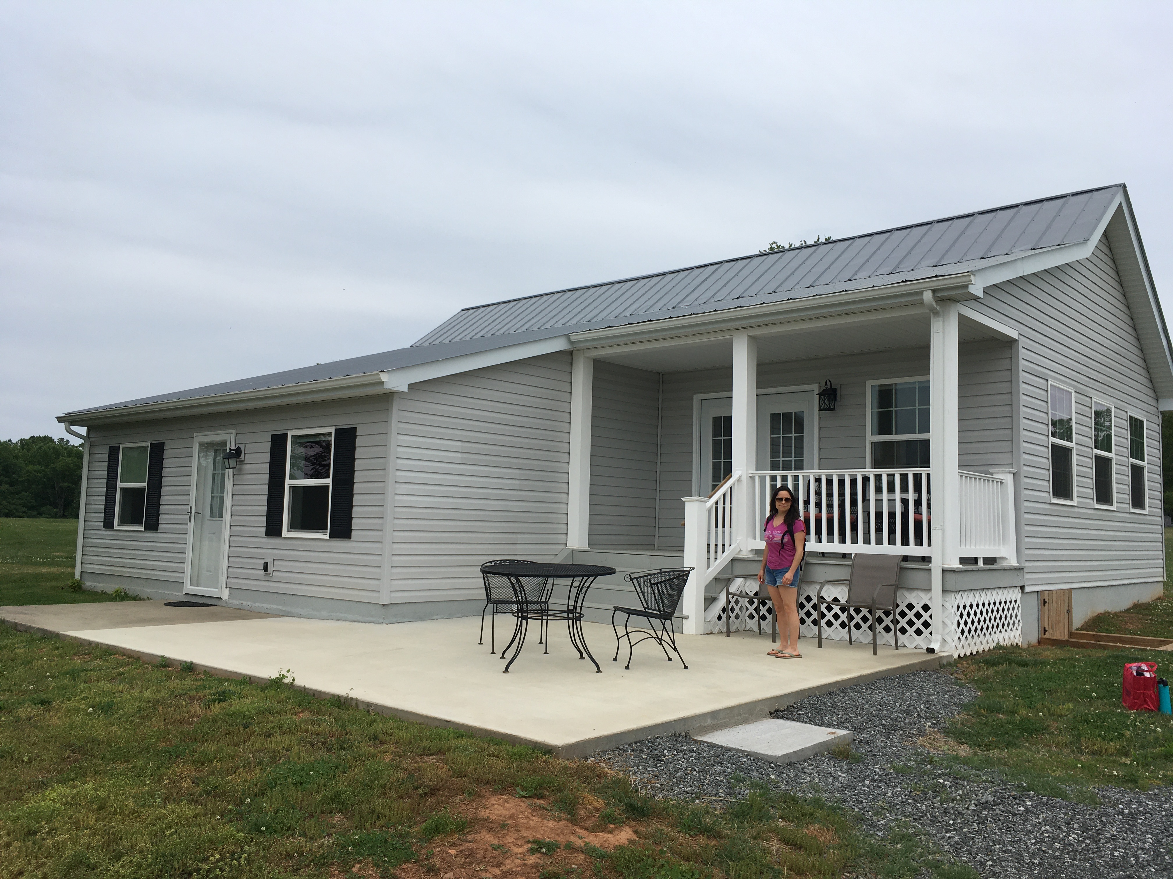
We slept in and had a leisurely breakfast in the air-conditioned villa, this morning.
It was a beautiful day already, but the forecasted high temp was in the mid 90s. We identified 3 potential ways to stay cool-ish, while leaving the house: kayak or canoe on the river, go underground and see some caverns (55 degrees F), or gain some elevation (website for Shenandoah claimed it was usually 10 degrees cooler up there, vs the valley... unclear which valley).
The kayak/canoe place that's nearby seems to prefer appointments/reservations, and we decided that it was probably busiest on weekends; the caverns are also sort of in that same area, but we also wanted to save that for a rainy day (potentially tomorrow, for example).
Hence, we lazily started our Sunday with a drive up to the Swift Run Gap Entrance of the park. Along the way, we stopped at a convenience store / deli / gas station to fill up, and investigate the possibility of bringing something for lunch along for the ride. We opted to find lunch later.
It was a wise decision to fill up, because there's definitely no fuel available in the park, and there are only 4 ways in or out in the 100+ miles of Skyline Drive. It's only about 2 weeks after the gas crisis caused by the pipeline shutdown, but the situation seems to be resolved, at least around here.
Sabrina had researched day-hike options, and printed out some maps/info from the NPS website, but other than that we didn't have anything resembling a plan. We headed south, once inside the park.
Skyline Drive is littered with scenic overlooks, but we stopped at the first one we found. It wasn't especially scenic.
The second one we tried was better. Google maps suggests that it was Sandy Bottom Overlook.
I had to make up for the sad photo from the first overlook.
Panorama shots are so strange. Why do I always think This Time will be different?
We stopped at a few more overlooks, throughout the day. They all pretty much looked like this, with slightly varying views, depending mostly if they were on the east or west side of the road.
One of the the hike map/detail pages we had was for the Loft Mountain area. We stopped at the Loft Mountain Wayside, which was sort of a gift shop with bathrooms and such.
From there, we eased into our Shenandoah hiking adventures with the "easy" Frazier Discovery Trail.
This "easy" circuit hike has almost 500 feet of elevation gain in the first 1/2 mile. And then the same elevation descent in a loop back to the start.
At one point, we surprised a deer that was on the trail, who bolted into the woods. He (or she) was joined by a friend, and they stood frozen in place until we left. If you look carefully, you might even see them in this photo.
Near the pinnacle of the loop, we emerged onto a large chunk of solid rock, and were rewarded with views better than any of the overlooks we had stopped at earlier.
500ish feet in about 1/2 a mile is quite steep, it turns out. Thankfully, we had done some research (and learned from a few past mistakes), and brought some fancy (not really) hiking poles on this trip.
They make the steep descents slightly easier on one's knees, and also probably make it safer too. So far, I'm a believer; will probably know for sure tomorrow morning ;-)
After finishing the Frazier Discovery trail, we returned to the gift shop / visitor center / whatever, and asked a park ranger for some opinions and information.
We grabbed a late lunch of some better-than-expected, pre-made sandwiches at the Camp Store, about a mile up the hill towards the camp ground, and then continued along Skyline Drive towards our next hike.
Having successfully tested our poles, and figured out that the
NPS Trail Ratings don't exactly align with our personal opinions of the meaning of "easy". we decided to push ourselves by tackling the "moderate"
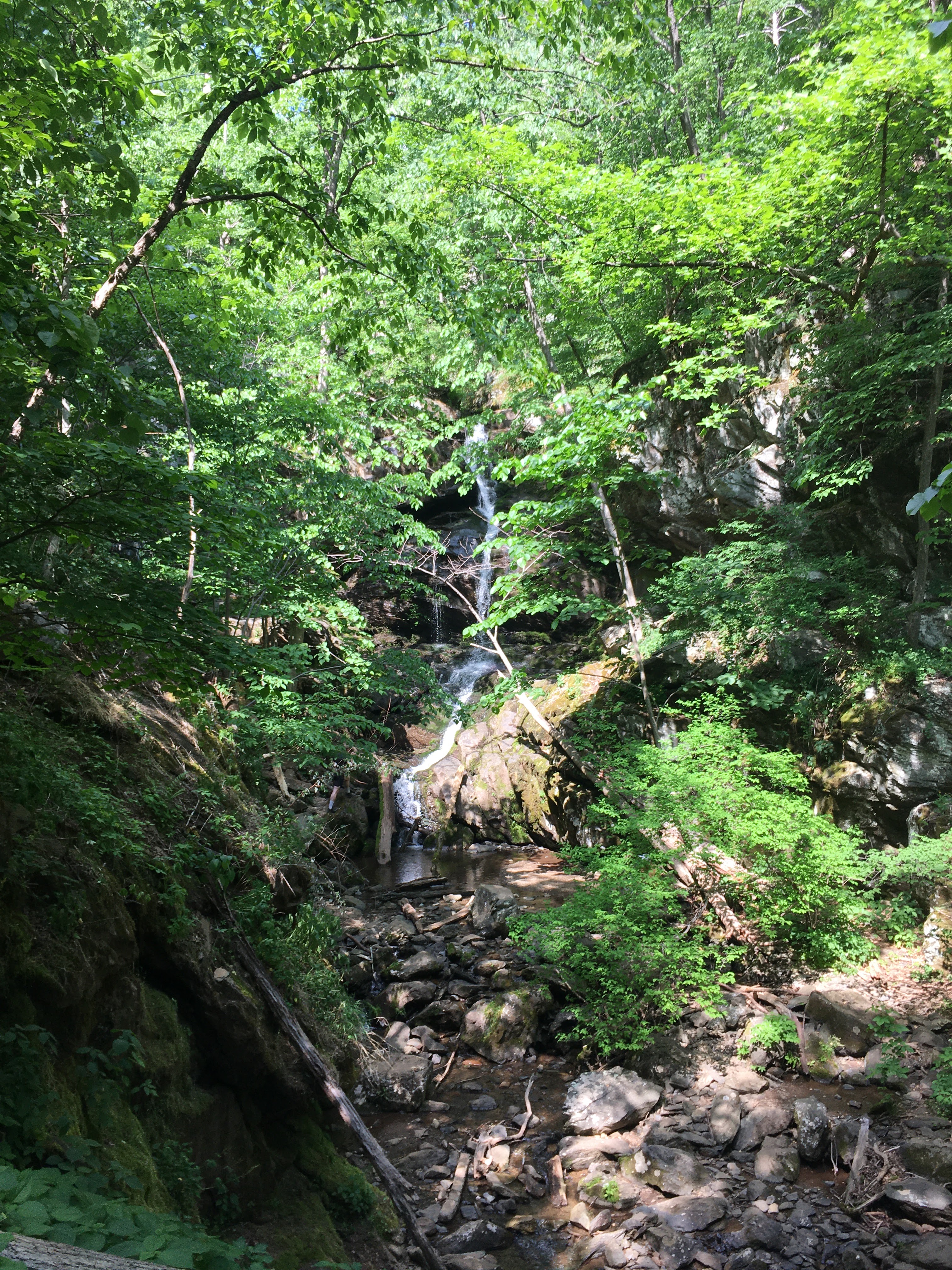
Doyles River Falls trail.
This trail started with about a mile of steep descent, with the ultimate goal being a pair of waterfalls.
If you look carefully at this one, you might spot the couple who were having a photoshoot in the waterfall. They graciously moved out of the way so I could take a photo, but having people in the shot provides a great sense of scale, I think.
Between the upper and lower falls, we had one of the strangest experiences we've ever had on a trip.
We slowly caught up to this couple ahead of us, who, from a distance, appeared to have a small dog with them (on a leash). The trail became quite steep just as we reached them, at which point the woman picked up her pet and we saw that it was clearly a cat (on a leash).
Simultaneously, her hiking companion, just ahead, is attempting to negotiate a bit of trail that seems to be guarded by a large, angry bird (which I'm going to call a raven, though I'm not certain of that). This raven is cawing enthusiastically, but not leaving its perch.
There is some argument about the cat's feelings, vis-à-vis the loud bird in the way, which is settled when the male hiker takes possession of the pet, and, instead of quickly passing the obstacle, decides to stop and let the cat assess the situation.
It was at this point that he seemed to notice we were patiently waiting for them to either get moving or get out of the way, but instead turned to us and said "Do you mind? We're going to try feeding it..."
I must've made a face (and I'm guessing Sabrina did, too), because he quickly recovered with "Uh... nevermind. I guess we're not supposed to do that anyway" and then carried his/her cat down the trail, leaving us to wonder what the hell was going on.
Having no other options, we
edged around the raven and followed the cat people down the trail. The bird was not interested in moving, at all.
The lower falls were somewhat taller than the uppers, although it's difficult to have and idea of scale from a photo.
There's another couple sitting beside the falls, in this one. "Random strangers for scale" perhaps.
Having reached the bottom of our descent, and the halfway point of our round-trip, moderate hike, we sat by the water and had a snack.
The remained of the hike was uneventful.
Just kidding. The cat guy carefully walked onto some rocks, essentially in the middle of the waterfall, to take some close-up pictures. And then he slipped on some wet rocks, right after I uttered "he's going to fall in", and slid into the water a little bit. Twice.
Then she sat on a rock by the edge of the waterfall, and posed with the cat for a (again, presumably Instagram) photoshoot.
In case they were headed back up with us, we wanted to get ahead of the weird cat walkers, so we commenced the return death march.
I would not be surprised if we returned in 2 days, and found it still perched there, in fact.
The return hike, back up to the parking lot, was rough. That's where almost 100% of the almost 1200' vertical distance came into play, over about 1.6 miles. Almost all of it was in the last mile. Mercifully, most of it was in the shade, but the ever-present breeze had died down, because we were now on the lee side of the hill from it.
Anyway, we eventually made it back to the car, obviously. Thankfully, we had a reserve supply of water waiting in a cooler.
We continued our scenic drive along Skyline Drive, because there really wasn't another option. We had entered the park somewhere around mile marker 65, and were almost exactly halfway between there and the southern exit, at Rockfish Gap Entrance Station.
We must have passed another 10 or 15 scenic overlooks, and then finally exited the park. The road layout at the bottom is confusing, and we nearly ended up driving some of the Blue Ridge Parkway, but we made it out, and aimed vaguely for Madison.
Along the nearly-one-hour drive back to the farm, we grabbed some dinner to go at El Agave in Ruckersville.
For the second night in a row, we enjoyed a lovely meal on the patio as the sun set over the hills to the west.
The breeze brought the scents of freshly mown (and baled) hay, as the sheep baaa'd in the distance.
Tomorrow, it might be rainy and thunderstormy, so we haven't decided what, if anything, is on the itinerary.
I have a feeling that the state of our legs might also have a say in that, in the morning. I haven't confirmed with Sabrina's fancy app that tracks these things, but we only hiked something like 4.5 miles while climbing almost 1/3 of a mile today.
Update: I got the data on our two hikes. Closer to 1/4 of a mile of total elevation: