Sunday, January 14, 2018

Turks and Caicos 2018 - Day 5

Our last (half) day in Turks & Caicos was a bit of a wildcard. Checkout wasn't until noon, and our flight wasn't until 3 PM.


In the morning, we took a quick drive over to Grace Bay, to walk around and shop for a souvenir or two.


Unfortunately, we discovered that many of the shops are closed on Sundays, and we were there before the remainder of them opened. Sometimes "9 AM" means 10:30 AM (Island Time), so while waiting, we had a lovely stroll on yet another day of perfect weather.


Despite the above photos looking like someone built 20 of the same Lego set, there are some interesting establishments to see while walking through this commercial area of the resort neighborhood.


Eventually, several shops opened so we could pick out a few T-shirts.


We returned to the house, finished packing up, and checked out (so to speak). The plan we settled on to end our visit was to take a scenic ride along the southern edge of Chalk Sound, stopping along the way wherever there was a decent view.

Additionally, we treated ourselves to some air conditioning for this last hour or so in the car, so we could remain cool and clean for the flight home.


The (relatively) long and winding Chalk Sound Drive was almost the only remaining paved road we hadn't driven yet, according to the map on the page linked above.


There were even a few decent spots to get a panoramic view of the turquoise sound, like this road that dead-ends practically at the water's edge.


If you're ever in the area, this is definitely the best vantage point.


As the visittci.com page mentions, there is a lot of new development happening along the edge of the sound. We visited an empty lot that had a spectacular view and a large bulldozer.

A Nissan March is not a very capable off-road vehicle, in case anyone was wondering (but it has a fantastic turning radius).


Around 1 PM, we set a course for the airport, stopping for slightly more than 3 gallons of (full-serve) gas en route, and returned the rental car.

The tiny airport was jammed full of people, but we found some seats in the second floor "departure lounge", which also has outdoor seating overlooking the runway. Why anyone was sitting out there, exposed to the merciless sun and the sound of jet engines, is beyond me.


Despite the chaos, we managed to coax a few lunches out of the bar/cafe in this area before our flight started boarding. In keeping with the theme of "anything goes" on the island, they let some passengers board through the rear door, resulting in a traffic jam in the aisle as people going both directions tried to squeeze past each other with luggage.

Sabrina snuck in a few incredible (and illicit!) photos during takeoff.


This one is a good portion of Providenciales, with Mango Cay and Little Water Cay (Iguana Island) in the middle, then (Big?) Water Cay, and Pine Cay and a few other small islands in the distance.


And here we have all of Pine Cay in the foreground, Big and Little Water Cays, and Mango Cay in the middle, and Provo curving into the clouds in the distance.

We're able to follow our kayak journey in both of these photos, which I think is neat.

After an uneventful flight, we landed in Newark around 5:30 PM.

Saturday, January 13, 2018

Turks and Caicos 2018 - Day 4

Our plan today was vaguely "more beach and snorkeling". After doing some research last night, we settled on Smith's Reef as our snorkeling destination. (The map on that page was very helpful.)

We rented fins, masks, and snorkels from a dive shop that was on the way to the reef (shout out to Provo Turtle Divers) and headed for the western beach access.


After walking along the rocky beach, around the point, we piled our bag and towels in the shade of a dune, roughly in front of the first reef area.


We were in the water just before noon, and immediately found plenty of colorful coral and fish, not far from shore.


I got reacquainted with the difficult task of taking underwater photos on an iPhone.


In addition to dozens of colorful species of fish, we also saw some squid, almost immediately when we got in (not pictured).


Most of the fish are uncooperative when it comes to photography, unfortunately, so it's hard to keep them in frame.


About 20 minutes in, I noticed that my phone case was leaking, so I returned to the beach to deal with that Situation before it became a Problem (see Bermuda, last year).


I felt that I had taken enough photos to establish the scene, so we returned to snorkeling with Sabrina's phone tucked in a zippered pocket. The plan was to dig it out only for an exceptional picture or two, as her case doesn't have a wrist strap and I wasn't thrilled about having to dive to retrieve it from the reef.

Almost immediately after returning to the water, we found an enormous sea turtle swimming along the edge of the reef. We were not prepared with the camera, though, and somehow managed to lose the turtle while surfacing to use the touch screen. Despite the turtle literally being a metaphor for something slow, this particular one seemed to be in a rush to hide under a ledge.

Later, I found another turtle lounging on the ocean floor next to the reef. It was nearly indistinguishable from a rock, as it wasn't moving and was about 15 feet down.

There were only two occasions when I could tell that Sabrina wasn't thrilled to be snorkeling, based on the sudden panic-squeeze she applied to my arm or hand.

The first was a large fish leisurely swimming past us, far enough away that we couldn't make out details. I have no idea what it was... it was dark blue or maybe black, and had sort of large, maybe-symmetrical fins on the top and bottom, but wasn't very long. I could actually hear Sabrina say something about "shark" as she crushed my hand, as she saw it. It was not a shark. (Update: after more research than it deserved, we have decided it may have been a large Ocean Triggerfish)

The second occasion was when we suddenly encountered a school of (what I have since learned were) Horse-eye Jack. They didn't seem to be concerned about our presence, so I gradually swam towards them, semi-dragging Sabrina with me, until her death-grip made it apparent that we were close enough. We may have been only 6 or 8 feet from about 20 of these large fish. Rather than try to get a photo, we just watched as they slowly swam by, but their formation looked something like this (from the Smith's Reef page on visittci.com).


I don't know what she was worried about; according to the wikipedia article, "The fish is generally wary of scuba divers; it will move slowly away as divers approach." Presumably that applies to snorkelers as well.

Several times, I thought there was a yellow fish following us, since I kept catching glimpses of (what looked to me like) the same fish when I would turn around for some reason. Sabrina agreed with me when I brought it up later. Apparently, it might not have been a figment of our imaginations.


We took breaks for water, and to relocate farther down the beach at the next reef area. We repeated this several times, for a total of almost 4 hours, by which point we were out of water, and also getting tired and sunburned.

The wind had picked up quite a bit since we started, and the ocean was getting choppy to the extent that it was difficult to avoid sucking some water into the snorkel, so we took this as a sign that it was time to stop.

By then, we were closer to the central beach access than to where we had started, and we figured some time to dry off before getting in the car couldn't hurt, so we kept meandering along the beach.


Despite the temperature (and humidity) being in the 80s, and the brutal heat of the sun, the steady offshore breeze made it quite comfortable on the sand.


The half mile walk back to the car, along the paved road, was somewhat less comfortable, as the wind stopped immediately once we left the beach.

We returned the snorkel gear, drove back to the house, and performed our sunscreen/sand/salt removal rituals slightly earlier than usual today.


As we had skipped lunch, we opted to start dinner early, beginning with a repeat visit to the Magnolia for an appetizer, a drink, and a panoramic view at sunset.


After the sunset, we drove a few miles (and 3 or 4 roundabouts) west to the Blue Hills area, in search of da Conch Shack (& Rum Bar).

(It would have been nice to find this map of the island a week ago. Bonus points if you can tell me why there are two regions marked "12".)


Those low white walls were made of conch shells, as were the pink walls between the parking lot and the road.

I think it was the closest we've come to literally eating a meal on the beach here, but only because we opted to sit on one of the elevated decks, instead of a picnic table on the beach.


Sabrina had some sort of coconut and conch stew/chowder, and I had a platter of build-your-own jerk chicken tacos. There was a steady 10 mph wind the entire time we were there.

If you look carefully in the background, you can see a... beach vendor? selling shells, jewellery, carved wooden trinkets, etc.


We have no specific plans for tomorrow, other than getting to the airport in the early afternoon for our flight back to the frozen north.

Friday, January 12, 2018

Turks and Caicos 2018 - Day 3

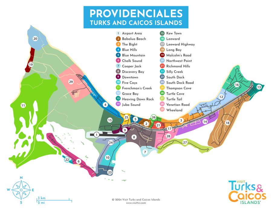
This morning, we got up earlier than yesterday (but still "late") and headed straight for the marina at the east end of the island, where we had stopped yesterday to ask about kayaking.

They had suggested we call first, to confirm weather conditions were suitable for kayaks. We didn't bother, as today was another perfect day in paradise. (Also we have no easy way to make a phone call.)

When we got to the office, though, they expressed some concern about the wind. I assured them we'd be fine, as it didn't seem that windy to me. (Full disclosure: I have gotten us into some.... difficult-return-trip situations in kayaks, in the past.)

We packed some snacks, along with anything worth stealing from the car, into a dry bag, and were on the water by 11:30 AM.


We left the marina, crossed a channel over to the edge of an island covered with mangroves (aptly named Mangrove Cay), and hugged the coast to stay out of the wind.


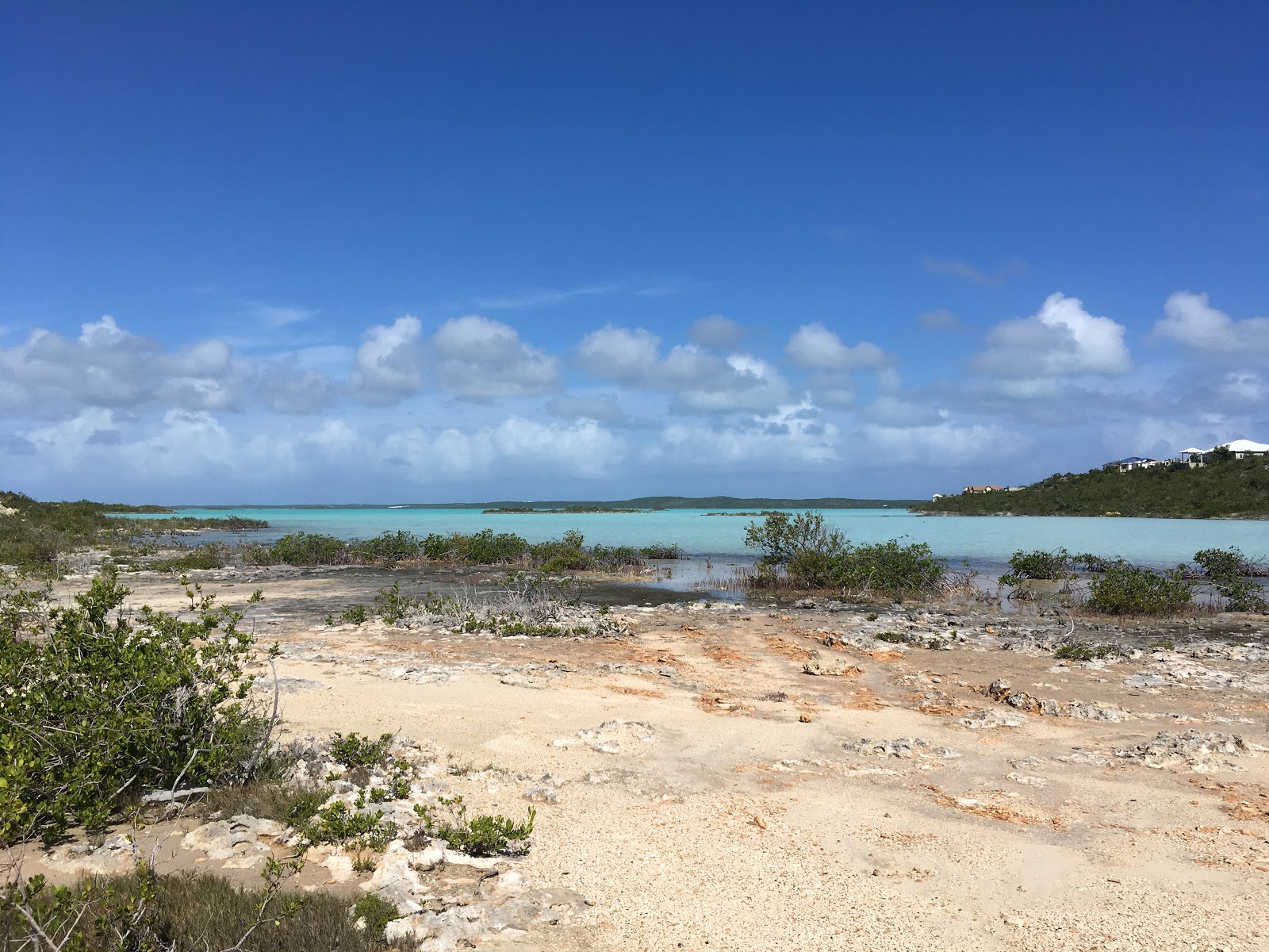
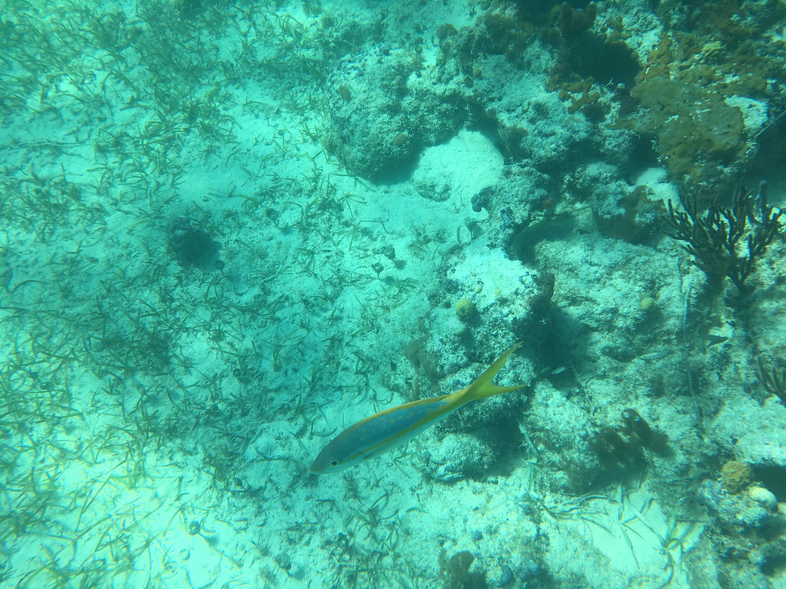
Once we rounded the western edge of the island, we entered a shallow, sandy area that was sparsely covered in sea grass. (See Google Maps if you want to follow along.)


It was only about an hour after low tide, and the laminated map we'd been given labeled this area "caution: impassible at low tide" or something like that.

One of the rental employees had advised us that we might not be able to get through this area. His suggestion was just to get out and walk the kayak through the very shallow part, if necessary, or to go along the outer edge, by the channel... where it was very windy.

At first, it looked like it might just be deep enough to cross, but he was correct, of course.


It wasn't easy to walk in the soft, sandy bottom, so it was slow going... until I noticed that there was a baby reef shark swimming around. I didn't stop to get a photo.


Once I was back in the boat, we continued across the tidal marsh, or whatever it was, towards the "pine tree island" that you can see in the middle of the photo, above.


After passing this landmark, we had to quickly cross the deep channel before the wind and/or current took us in the wrong direction.


Just over a mile into our journey, we reached our destination: Little Water Cay, AKA Iguana Island. I hadn't even gotten out of the kayak before we spotted the first resident.


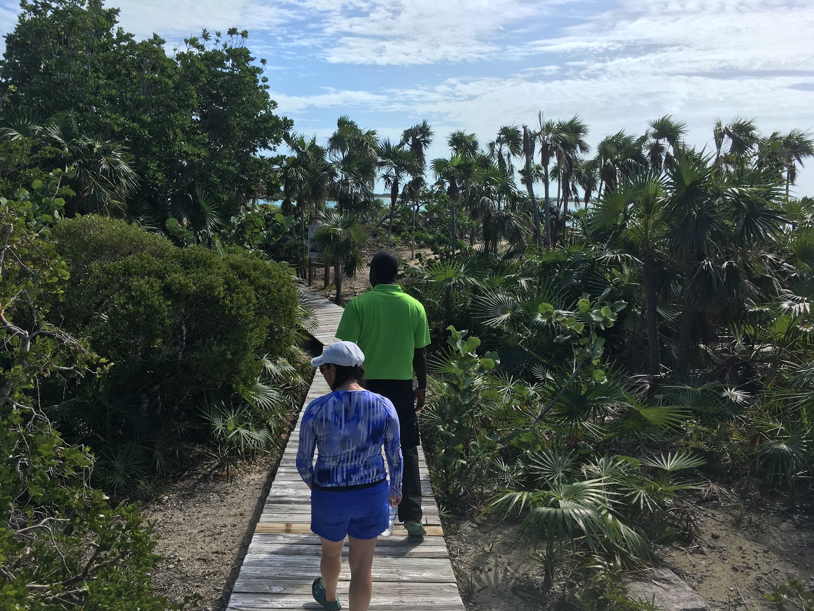
We beached the kayak and started following the boardwalk. There was an iguana at every turn, and they didn't seem shy. 


A tour guide came out to meet us, and led us to the visitor center as he told us about the island.


At the visitor center, he passed us off to another guide. I think his ride back to Providenciales was just arriving at the dock as we saw the first few iguanas.


This new guide explained that there are over 5000 iguanas on the island, which is why it's not hard to find them. The boardwalk eventually led us back out to the beach, and the guide left us there to wander around.


After exploring the beach briefly, we returned to the boardwalk and started walking back towards the starting point.


You couldn't go ten feet without seeing another iguana.


This one seemed indignant when we tried to pass. We were stopped in our tracks briefly, unsure if he would let us through, as he seemed to intentionally move into the middle of the boardwalk.


The guide pointed out one of these small iguana burrows, earlier.


We ran the territorial-iguana gauntlet all the way back to the dock.


Upon returning to the kayak, we sat on the dock to have a snack and enjoy the view.


While we were staring out at the water, this sneaky iguana came out to see what we were doing.


She (I think that's a female?) was quite friendly.


It was approaching 1 PM by the time we got back in the kayak and made a mad dash back across the channel, towards the shallow grass beds.


We hoped that enough time had passed to allow us to traverse the shallow spots without walking again, but I still got out and pulled the kayak for maybe 5 or 10 yards.


We then battled the wind across the channel, towards the marina.


We were safely back on land around 1:30 PM.


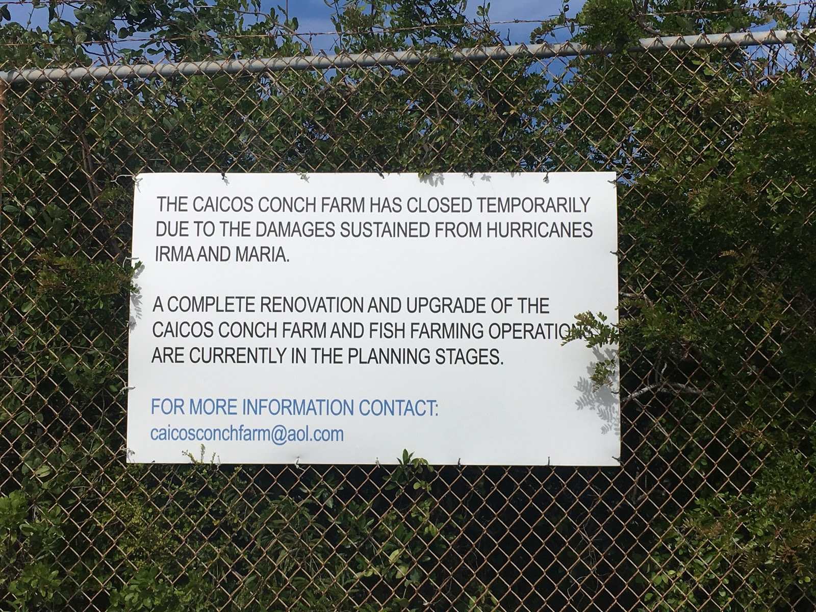
As we hadn't eaten much since breakfast, we tried to grab a quick lunch at the restaurant adjacent to the marina, but it was closed. Instead, we finished the snacks. we had brought with us this morning, and hopped back in the car, intending to go to the Conch Farm.

I know that I spent the last two posts hyping up this attraction, but our plans were immediately derailed once we found the correct location.


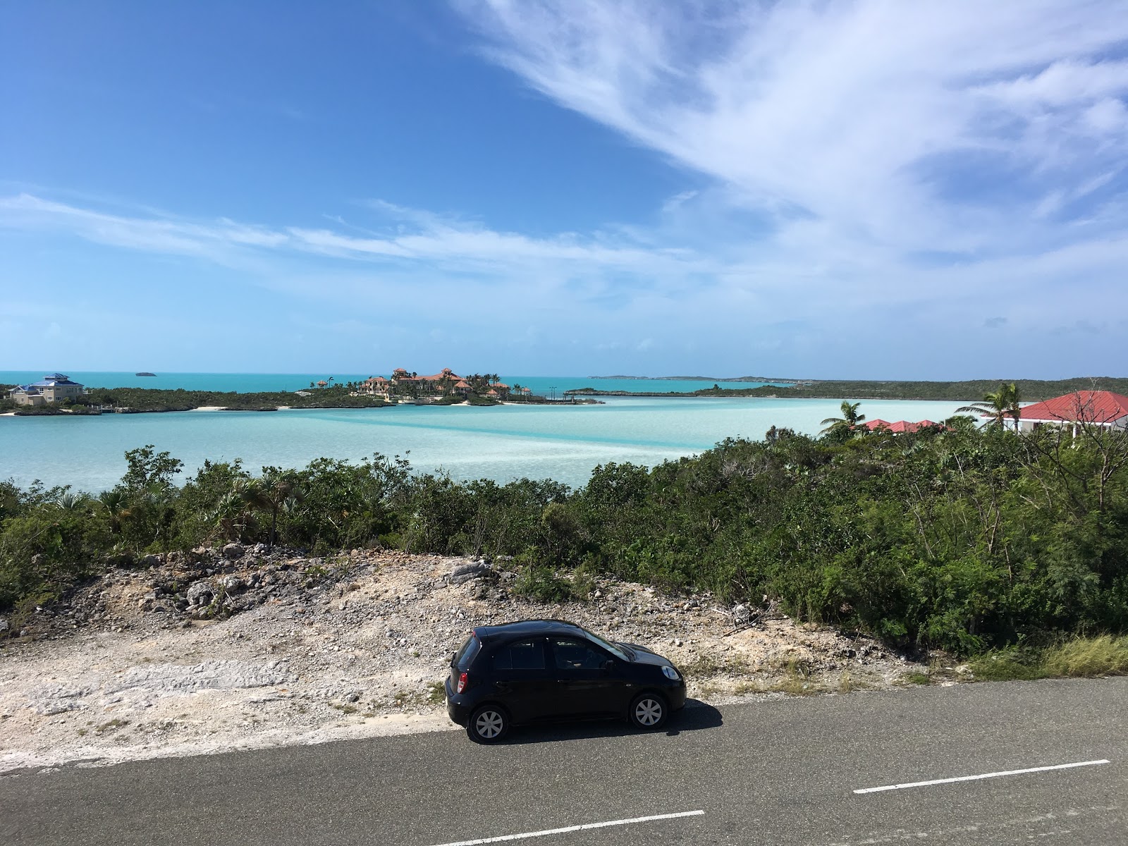
Still hungry and with the next hour or so suddenly freed up, we headed back to the Grace Bay area in search of a new beachside restaurant to try for lunch.


A Google Maps search for "restaurant" offered a variety of options; we decided to try Solana, and it was a good choice. (We haven't had a bad dining experience anywhere here, actually.)


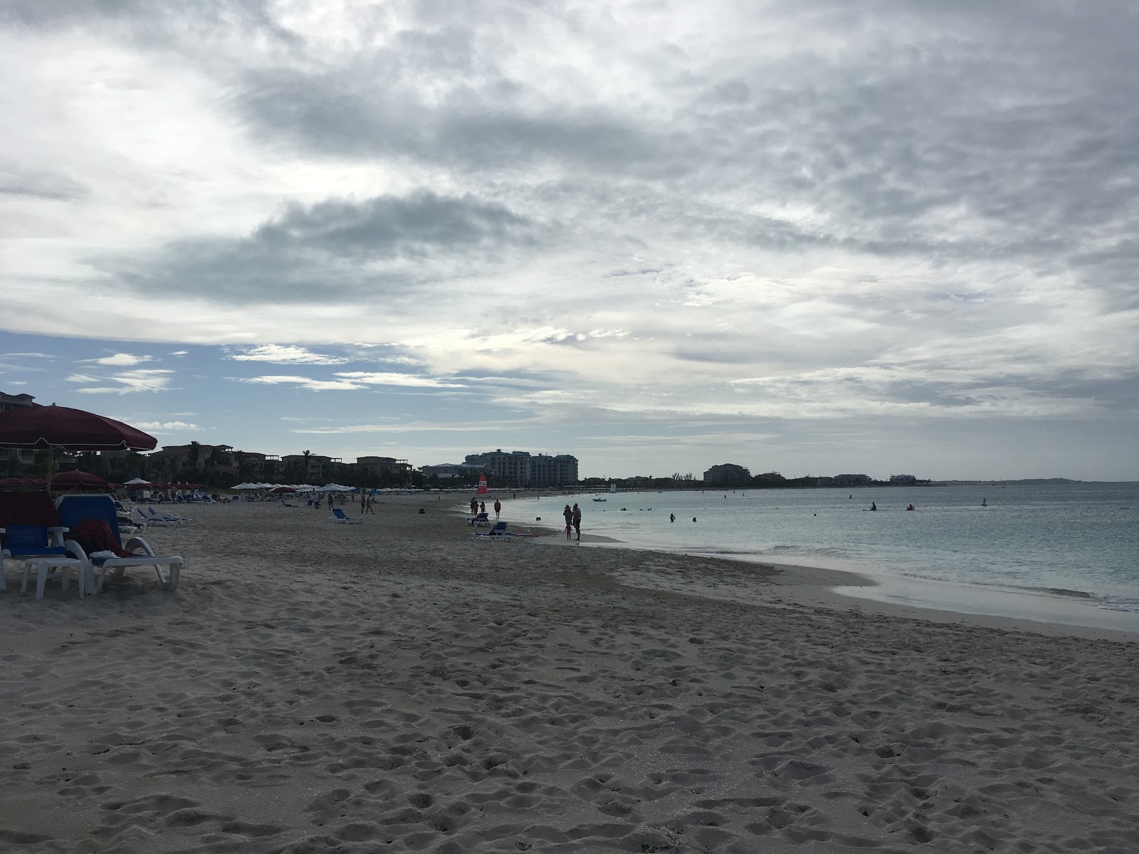
It was around 3:30 PM when we left Solana, and we needed a dip in the ocean to cool off after sweating all day, so we returned to Grace Bay Beach for an hour or two.


While we were in the water, a man walked a horse along the beach, in search of potential horseback ride customers. He saw me taking his picture and asked if I wanted a ride.


It looked like his sales strategy was just walking the horse up to random people in lounge chairs, and asking if they wanted a ride. He led the horse back the way they came, not even 10 minutes later.

I explored along the beach a bit while Sabrina took a nap in the sun.


And, for the third day in a row, we ended the day at the beach, as the sun dove towards the horizon.


Per our new ritual, we returned to the house to wash off salt, sand, and sunscreen, unloaded the car, and headed out in search of another new restaurant for dinner. We looked at the options close to the house, again, and ended up at Magnolia's Restaurant and Wine Bar, overlooking Turtle Cove and the place we ate last night (Mango Reef).


The food was excellent, and we had the small deck outside the bar area to ourselves for most of dinner, with a panoramic view of half the island.

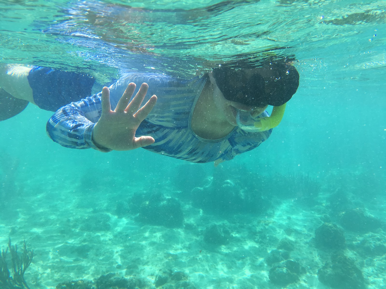
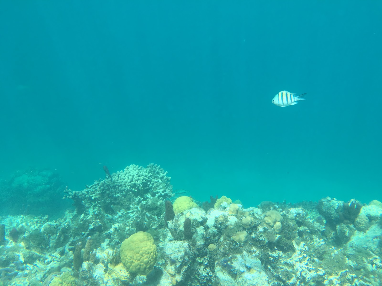
The extent of tomorrow's plans is "snorkeling", and the weather forecast is more of the same.